
Twelve walks near Bromley, from a 1km step-free trail at Scadbury to the 9-mile London LOOP, with distances, start points, parking, toilets and cafes.
The walks most people start with near Bromley are the Three Commons circuit from Hayes, the Keston Common trails around the ponds, High Elms Country Park near Farnborough, which has a cafe and toilets at the start, and the National Trust’s Petts Wood and Hawkwood. Every entry below was checked against the council’s route cards, the National Trust and the Ramblers’ guides for Transport for London on 26 October 2026.
We have not walked these routes for this guide and nothing here is a rating. Each entry sets out what the people who look after the route publish: the distance, the start point, parking, the nearest station, the surface and, where it exists, a cafe or toilets. Where the source does not say, we have not guessed.
A note on the route cards. Most entries use Bromley Council’s circular walks and walking trails, which are free PDFs. The circular walk cards say “all details correct at time of printing (2013)”, so bus routes and parking notes on them may have changed since. Waymarks are on the ground. The council’s walking page says the walks are usually two to four hours, and the full laminated pack of 14 cards costs £5 from the BEECHE centre at High Elms.
Light. The clocks went back on Sunday 25 October, so allow for dark by late afternoon on the longer routes. Countryside paths on London clay, especially at Jubilee Country Park and Petts Wood, get very muddy over the winter.
Hayes, Keston and Bromley Common
Three Commons, Hayes (5 miles)
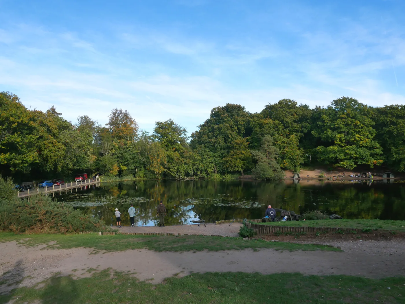
The council’s route card describes “a 5 mile walk through the commons of Hayes, Keston and West Wickham, plus Ravensbourne Open Space and Padmall Wood”, allowing three hours. It starts on Warren Road, opposite Station Hill in Hayes, a short walk from Hayes station; parking is limited to Warren Road and the surrounding streets. Along the way it passes The Greyhound and The Fox on Keston Common (both in our pubs guide), and later joins the London LOOP through West Wickham Common, which the City of London manages. A short cut from point 5 to point 13 trims the middle section.
The Ravensbourne Trail, Keston Common (2.5 miles)
A nature trail marked with numbered posts, from the car park off Commonside, Keston. The council’s leaflet says it leads round “an area important to mankind for about 5000 years”, past rare bog and wet meadow, heathland and ancient coppiced woodland close to the River Ravensbourne, and that part of it is a Site of Special Scientific Interest. The map shows steps along the way. Hayes is the nearest station; the 146, 246 and 320 buses stop at Keston. The Friends of Keston Common and the Friends of Hayes Common look after the reserve.
Darwin’s Footsteps: Keston and Holwood (3¼ miles)
One of the council’s three Darwin trails. It starts and ends at the Westerham Road car park in Keston, two miles from Down House, and leads through the heath and acid grassland of Keston, past one of London’s few sphagnum bogs, through sweet chestnut coppice and along a public footpath across the Holwood estate, once the home of William Pitt. The leaflet gives the full trail as 3¼ miles (5km), easily shortened, with a little road walking, 20 steps down to Caesar’s Well at the start, and paths that “may be muddy and slippery at times”. It notes two pubs at Keston for refreshments. The Holwood Farm farm shop and cafe is between Keston and Downe.
Bromley Common circular (4 miles)
The closest of the council’s circular walks to Bromley town. The route card says the 4 mile, two-hour walk “leads on through farmland, the Rookery Estate, Hayes Village and Elmfield before returning to the common”. It starts at the junction of Holbrook Way and Magpie Hall Lane (on-road parking only), and Bickley is the nearest station. The route crosses Elmfield Wood, a 21-acre community woodland the council planted in 1995 with 6,400 trees, crosses the A21 at a traffic island, and passes The Chequers on Southborough Lane, which the card describes as a listed weatherboarded pub.
Petts Wood, Chislehurst and Orpington
Petts Wood and Hawkwood, with Jubilee Country Park (4 miles)
The National Trust owns 338 acres here: the Willett Memorial Wood came to it in 1927 and the Hawkwood estate in 1957. Its place record says the countryside is open dawn to dusk, it lists no Trust car park, cafe or level access, the ground is uneven “with some slopes and steps”, dog walking is listed as an activity, and cyclists and riders should keep to the marked bridlepath. Pedestrian access from Petts Wood station is via the Hazelmere Road underpass. The council’s Petts Wood circular, 4 miles in about two hours, links it with Jubilee Country Park, starting at the Tent Peg Lane car park off Crest View Drive and passing the Willett sundial and Edlmann memorial. Jubilee’s own nature trail is about 2 miles. Postcode for the Trust land: BR5 1NZ.
Scadbury Park, Chislehurst (1km step-free, or the Acorn Trail)
A Local Nature Reserve of over 300 acres, home to the Walsingham family from 1424 to 1655, according to the council’s page. There is one car park, off Old Perry Street. From there the Easy Access Trail runs 1km (⅝ mile); the leaflet says it has no steps or stiles, three speed humps, and was accessible for self-propelled wheelchairs when printed, and recommends going south through the park first. The longer Acorn Trail follows numbered posts past trees that have grown at Scadbury for hundreds of years, and the leaflet warns the valley soils are very wet in winter. The Friends of Scadbury Park run the volunteer side. Nearest stations: St Mary Cray, Chislehurst and Petts Wood.
Cray Riverway, Orpington to Foots Cray (3.5 miles, one way)
A linear walk along the River Cray. The council’s route card starts at the Priory in Priory Gardens, Church Hill, passes the lakes in the gardens, goes under the 1858 railway viaduct into St Mary Cray, then through St Paul’s Cray to Foots Cray, past the Seven Stars, which the card dates to about 1753, and the parish church of All Saints. This first 3.5 miles is the Bromley part of a 13.5 mile riverside route that carries on through Bexley. Take a bus back to Orpington from Foots Cray: the card lists the 51, R1, R11 and B14 among others. Parking is pay and display at Priory Gardens or limited on-street; Orpington is the nearest station.
Downe, High Elms and Cudham
High Elms Trail, High Elms Country Park (about 3.5km)
The easiest countryside walk in the borough to plan a morning round. The trail leaflet says the route is marked by 20 posts banded in pale blue, is about 3.5km (2¼ miles), may be muddy, has steps and some gradients over 12%, and crosses High Elms Road twice. The park, once the Lubbock family’s estate, covers 250 acres of woods and chalk meadows and is a Site of Special Scientific Interest, says the council’s page. There are two car parks off High Elms Road, public toilets and baby changing, and the Green Roof Cafe at the BEECHE centre (10am to 5pm weekdays, 9.30am to 5pm weekends, per the council). Two Trampers, all-terrain wheelchairs, can be booked through the rangers’ office on 01689 862815, subject to staff. Shire Lane, Farnborough, BR6 7JH.
Darwin’s Footsteps: Downe Valley (5 miles, or 3¼ or 1¾)
The council’s Downe Valley trail follows country Charles Darwin knew from Down House, including “The Big Woods” where he walked with his sons and the chalk bank his family called “The Terrace”. It starts at the Biggin Hill Recreation Ground car park. The full route is 5 miles (8km), with shorter versions of 3¼ miles and 1¾ miles. The leaflet warns of “gradients of 25%” in and out of the valley, plus stiles and steps. It says there are two pubs and a cafe in Downe; our pubs guide has The Queen’s Head and the George and Dragon. The pub the leaflet mentions in Jail Lane, The Old Jail, has been shut since early 2023, though plans are in to reopen it.
Cudham circular (7.5 miles)
The longest of the council’s circular walks, at 7.5 miles in about 4½ hours. The route card starts at the Cudham Recreation Ground car park on Cudham Lane South, passes the 12th-century church of St Peter and St Paul, and crosses into the High Elms estate before climbing back towards Mace Farm. A detour up West Hill reaches Down House, Darwin’s home, and Petleys, the Wedgwood family’s house. A short cut from point 7 crosses Downe Bank, a chalk grassland reserve run by Kent Wildlife Trust. The card says Cudham sits 800ft above sea level; Chelsfield is the nearest station and the R5 bus serves the village.
Long-distance routes through the borough
London LOOP Section 3: Petts Wood to West Wickham Common (9.3 miles)
The best single day’s walk across the borough. The Ramblers’ route guide for Transport for London, revised May 2023, gives 8.3 miles plus a mile of station links, 9.3 miles (14.9km) in all, from Petts Wood station to Hayes station. It runs from Jubilee Country Park through Farnborough, High Elms and Keston to West Wickham Common. The guide calls the walking “generally easy” with “a few longish steep slopes and some small flights of steps”, and says you can picnic at High Elms, where there is a cafe and toilets. Buses from Farnborough or Keston cut it short. The Inner London Ramblers’ news page reported new waymark posts at Crofton and Darrick Woods in 2025 and no current diversion when we checked.
Capital Ring Section 3: Grove Park to Crystal Palace (8.3 miles)
The route for Beckenham and Penge. The Ramblers’ guide, revised October 2024, gives 7.8 miles plus half a mile of station links (13.4km), through Beckenham Place Park, Cator Park, where the River Beck and Chaffinch Brook meet, Alexandra Recreation Ground and Penge to Crystal Palace Park and its dinosaurs. It says the walking is “generally fairly easy”, Beckenham Place Park can be muddy in wet weather, and there are steps at the railway bridges with signed alternatives. Public toilets are at Grove Park, Beckenham Place Park and Crystal Palace Park. It passes New Beckenham and Penge East stations, so it splits easily into halves.
How we chose
We picked the routes with a published, waymarked line and a named start point, covering each part of the borough and every length from 1km to a full day. Every entry comes from Bromley Council’s route cards and trail leaflets, its park pages, the National Trust’s place record, and the Ramblers’ guides for Transport for London. Several leaflets are more than ten years old; we have flagged where a detail has clearly changed, and you should check bus times and parking before you go. Run a park group, a cafe or pub on one of these routes, or spot something that has changed? Email newsdesk@bromleyonline.co.uk.
More for a day out: things to do in Bromley, what’s on this month, our playgrounds guide for walks with small children, and for afterwards, the pubs, cafes and Sunday roast guides. The rules on dogs in parks are in our report on the dog control order. Local businesses are in the Bromley Business Directory.
Frequently asked questions
What is the best circular walk near Bromley?
The shortest well-marked circuits are the High Elms Trail (about 3.5km, 20 numbered posts, with a cafe and toilets at the start) and the Ravensbourne Trail on Keston Common (2.5 miles). For something longer, Bromley Council’s Three Commons walk from Hayes covers 5 miles through Hayes, Keston and West Wickham commons in about three hours.
Are there step-free or wheelchair-friendly walks in Bromley?
Scadbury Park’s Easy Access Trail is 1km long from the Old Perry Street car park, with no steps or stiles, and the council’s leaflet says it was accessible for self-propelled wheelchairs when printed. High Elms Country Park has two Trampers, all-terrain wheelchairs that can be booked through the rangers’ office, subject to staff availability.
Where can I get Bromley’s circular walk maps?
All 14 of the council’s circular walk route cards can be downloaded free from bromley.gov.uk. The laminated pack of all 14 costs £5 from the BEECHE visitor centre at High Elms Country Park, which opens 11am to 4pm at weekends and every day from 10am to 4pm in the school holidays.
Have your say